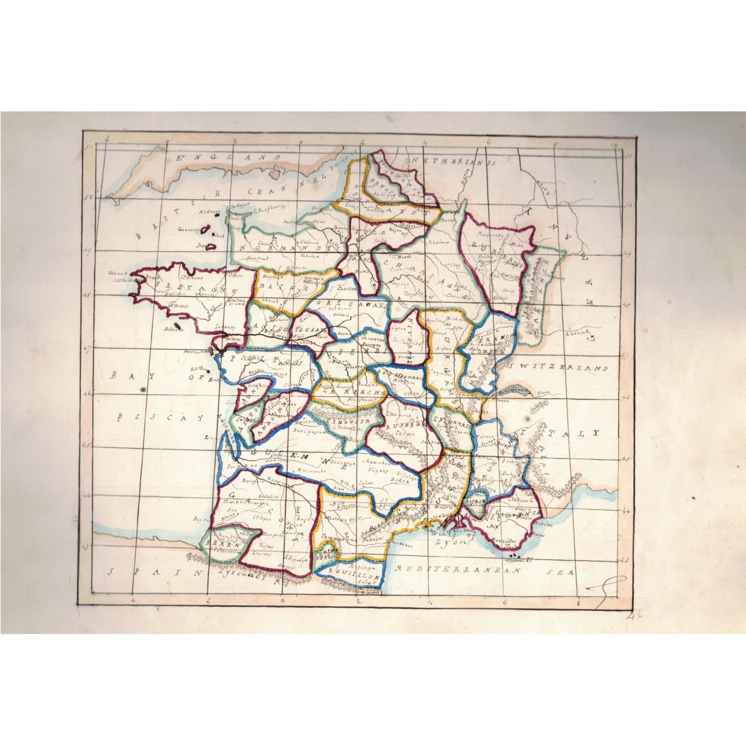
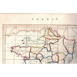
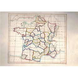

Map of the first half of 1800 hand drawn and hand watercolored, unknown author , France
Geographic map, hand drawn and hand watercolored.
The map represents France pre-1848 divided by provinces and regions.
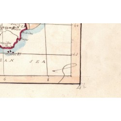
Dating from the first half of the 1800s, the map is signed at the bottom right but with an initials,
in fact the author's name is illegible.
Map of the first half of 1800 hand drawn and hand watercolored, unknown author , France